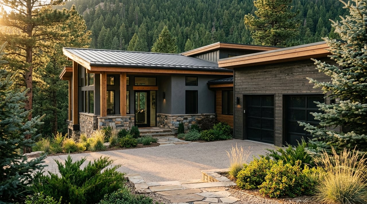
You get one chance to make buyers feel the horizon. In the San Luis Valley, the right photo and drone plan can turn wide skies, the Sangre de Cristo range, and iconic dunes into real selling power. If you are preparing a listing near Hooper or across Alamosa County, you want images that are beautiful, accurate, and compliant. This guide walks you through a practical, safe strategy tailored to the Valley so you showcase views the right way. Let’s dive in.
Why views sell in the Valley
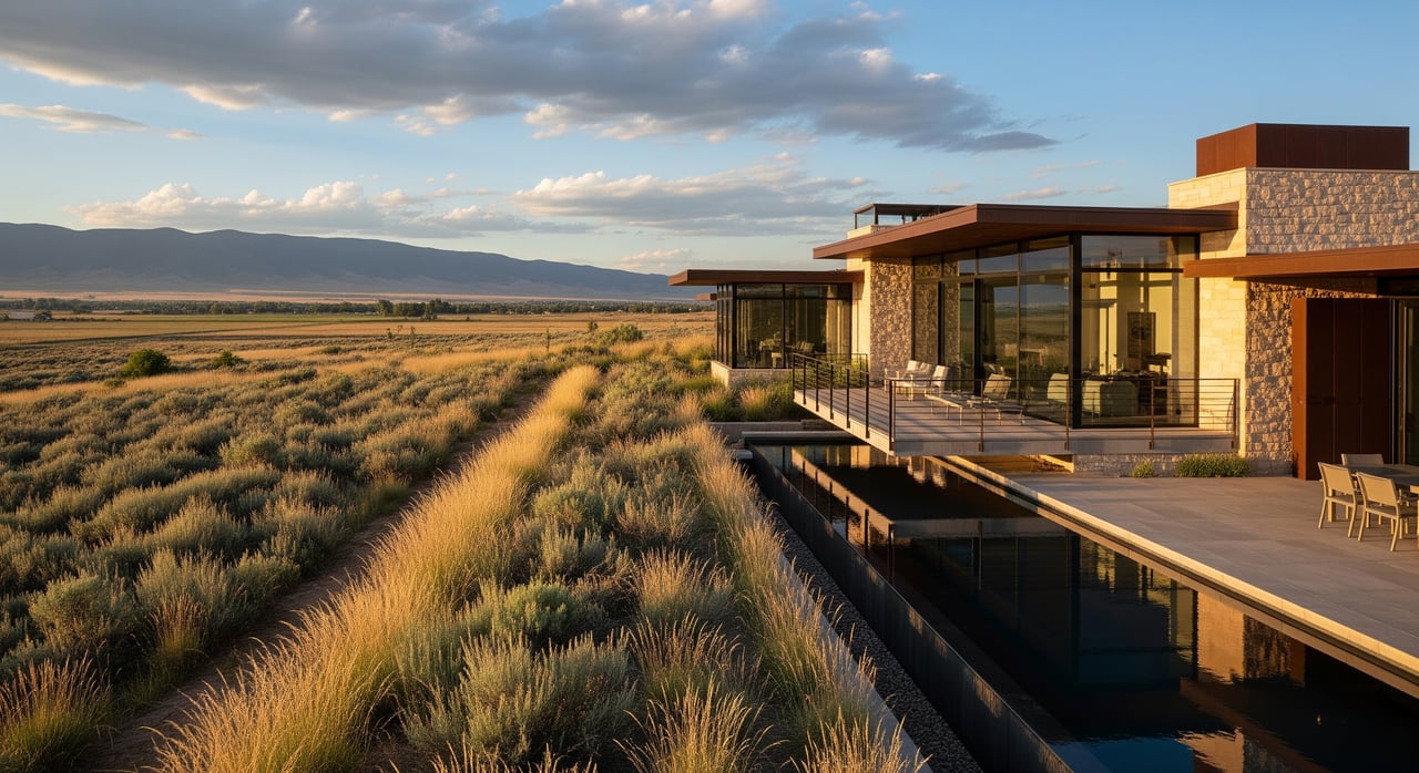
Hooper sits in a broad, high valley with long sight lines and mountain backdrops that buyers notice first. The town’s setting and elevation create crisp vistas that reward careful timing and composition. Nearby landmarks, including Great Sand Dunes National Park, shape buyer expectations about scenery and lifestyle. Learn the visual story of your property, then plan images that connect the home to its surroundings. For local context, see the profile of Hooper, Colorado.
Know the rules before you fly
If you hire drone services for a listing, the operator should follow the FAA Small UAS Rule. Under Part 107, commercial pilots keep the drone within visual line of sight, fly at or below 400 feet above ground level, and hold a Remote Pilot Certificate. Many modern drones must also broadcast Remote ID under federal rules; review the FAA’s Remote ID documentation when planning.
Airspace matters around the San Luis Valley Regional Airport in Alamosa. Check current maps and obtain near real-time authorization through LAANC when required. You can learn how LAANC works from this overview for pilots, and use approved apps to request access.
Drones are not allowed to launch, land, or operate from within Great Sand Dunes National Park. If your listing highlights dunes views, plan ground-based vantage points outside the boundary and keep all drone activity off park lands. Review the park’s unmanned aircraft policy before any shoot.
Colorado Parks and Wildlife also limits drone use on many state-managed lands and prohibits harassing wildlife. Always verify local land rules and property-owner permissions before you fly. CPW summarizes best practices in its drone guidance.
Plan for high elevation and weather
High field elevation reduces lift and affects flight time. Thinner air increases density altitude, which can lower a drone’s effective performance. If you are operating near 7,500 feet, plan shorter flights and extra batteries, and understand the basics of density altitude.
Cold temperatures also drain batteries faster. Manufacturers recommend keeping batteries warm and expecting reduced airtime in cold conditions. Review your drone’s manual and follow best practices from the DJI Mini 3 Pro user guide for cold-weather prep.
Wind is common in shoulder seasons, and summer afternoons can bring fast-building storms. If gusts approach the drone’s wind tolerance, do not fly. Always check the forecast and be ready to reschedule aerial work to protect people, property, and your equipment.
Build a shot list that sells the setting
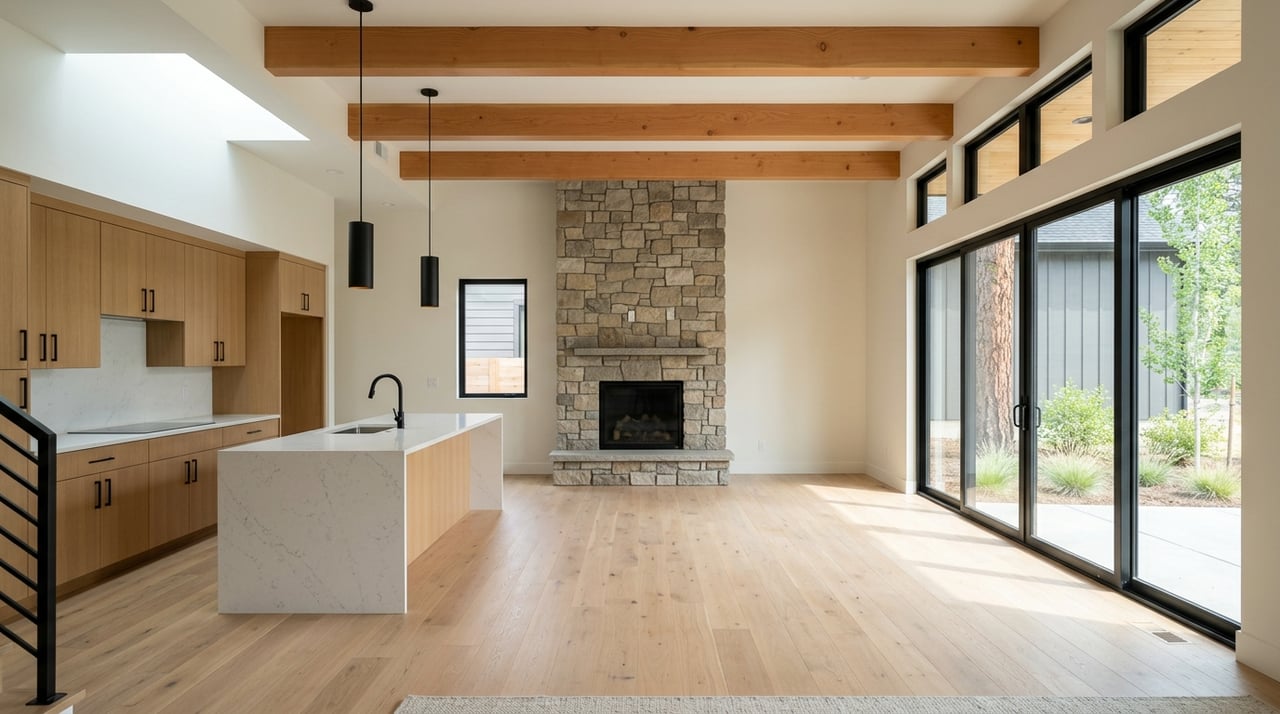
Your goal is to show the home and the place in one cohesive story. A concise, high-impact shot list keeps the production on track.
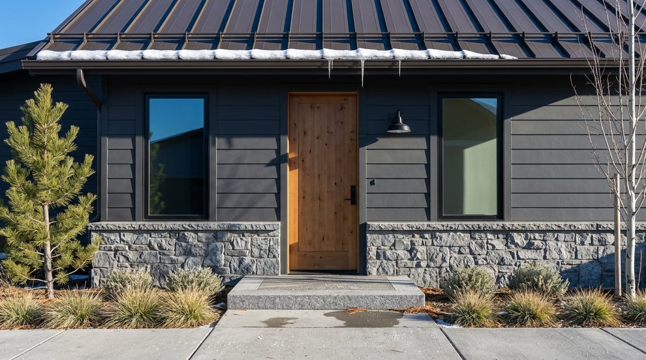
- Exterior ground hero. A clean, frontal view of the home with the mountain skyline behind. Golden hour or twilight often creates the most inviting light.
- Twilight exterior. Exterior lights on, sky balanced, windows glowing. This is a strong primary image for many listings.
- Aerial context wide. A higher shot that shows the property lines or shape, neighboring parcels, and the mountain backdrop. Stay within altitude and airspace rules from the NAR field guide.
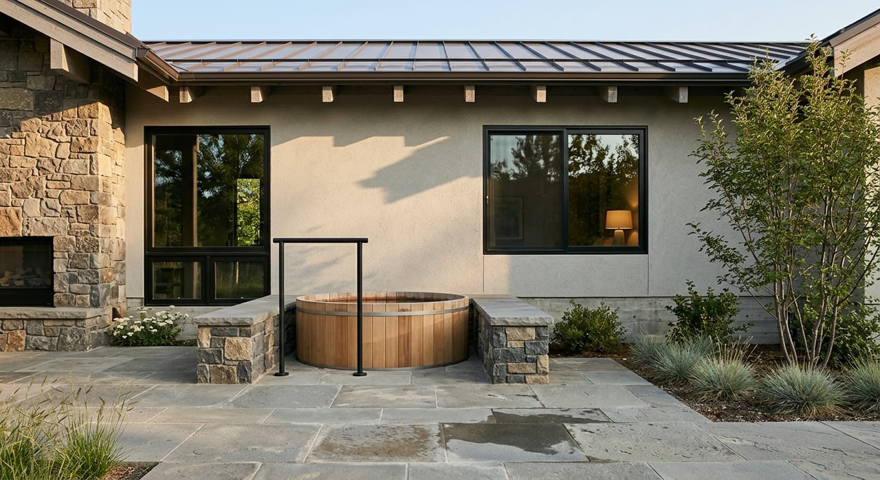
- Roof and assets. Close passes for roof condition, outbuildings, irrigation features, and access roads.
- Approach and access. Driveway, gate, and the approach from the nearest main road so buyers understand distance and convenience.
- Near-horizon reveal. A low-to-high move that introduces the house, then lifts to reveal the mountains and valley beyond.
- Neighborhood and amenities. Ground or legal aerial views showing relative proximity to trailheads, town services, and recreation. Do not operate inside national park boundaries; rely on permitted ground angles for dunes views.
Time your light for maximum impact
Light changes quickly in the Valley. Sunrise and sunset deliver warm tones on the home and the Sangre de Cristo range. Twilight can boost emotion and online engagement when you balance ambient light with the home’s exterior lighting. On bright, clear days, midday sun can be harsh. If shadows distract from the architecture, consider overcast or a reshoot during softer light.
Practical capture tips for drones
Keep horizons straight, especially when you feature long ridgelines. Mix slow orbits to show rooflines with gentle reveal moves to connect the house to the horizon. For scenes with bright skies and shaded yards, bracket exposures or use HDR to protect detail across the frame. Stay smooth and purposeful so the setting, not the motion, is the star.
Day-of checklist for Valley shoots
- Permissions. Get written permission from the property owner to launch and land. Confirm any local permits if you plan to use public lands or roads.
- Airspace. Check FAA UAS data and request LAANC authorization if required before flying near controlled areas. See this LAANC overview.
- Park and land status. Confirm you are outside the Great Sand Dunes boundary and follow the park’s unmanned aircraft policy.
- Weather and batteries. Verify winds and storm windows, carry multiple charged batteries, and keep spares warm in cold conditions. Review cold-weather guidance in the DJI user manual.
- Capture plan. Bring a tripod for twilight, extra memory cards, and plan for bracketed exposures or RAW capture to finish with clean, balanced edits.
Work with qualified pros
For commercial listing work, hire a Part 107-certified pilot who is insured and compliant with Remote ID. Confirm airspace experience and a clear license agreement covering image ownership and reuse. The NAR field guide to drones outlines best practices for pilot credentials, MLS compliance, and documentation. When in doubt, ask for proof of certification, registration, and insurance before you schedule the shoot.
Ready to showcase your view?
If you are preparing to list in Hooper or anywhere across the San Luis Valley, a thoughtful photo and drone plan will help buyers feel the place as much as the property. Our boutique team brings mountain-market expertise and polished marketing to every listing, supported by national reach for maximum exposure. Let’s talk about a custom strategy for your home’s views. Connect with us at Coldwell Banker Collegiate Peaks Realty.
FAQs
Do I need a licensed pilot for real estate drone photos?
- Yes. For commercial work, the operator should be Part 107 certified and follow FAA rules, including visual line of sight and altitude limits outlined in Part 107.
Are drones allowed inside Great Sand Dunes National Park?
- No. Launching, landing, or operating drones inside the park is prohibited; review the park’s unmanned aircraft policy for details.
How do I handle airspace near the Alamosa airport?
- Check FAA UAS data for controlled airspace and request authorization through LAANC when required; this LAANC overview explains how approvals work.
What weather and elevation issues should I plan for in the Valley?
- High elevation reduces lift and flight time, and cold conditions drain batteries faster; understand density altitude and follow manufacturer guidance like the DJI user manual.
What else should I do to avoid problems with wildlife and neighbors?
- Follow Colorado Parks and Wildlife guidance to avoid disturbing wildlife and secure permission before launching from private property; see CPW’s drone guidance.